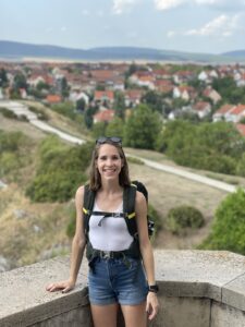
When most people envision their first trip to Vegas, they probably don’t think of hiking almost every day. Instead, they most likely see themselves spending time at the main Vegas strip, losing money gambling, and attending live shows.
However, when I visited one of my best friends (who’s a Vegas native) in the fall of 2020, most of the “normal” Vegas offerings were closed or restricted due to the pandemic. Instead, Bri and I made plans to visit as many hiking trails as we could handle in my five-day stay there. Staying with a local certainly had its advantages since Bri knew the best places to hike and the best times to go.
We hiked Red Rock, the Kraft Loop Trail, and Mt. Charleston. It’s hard to say which was my favorite because each one was so different and offered it’s own challenges/ amazing views.
The Calico Tanks Trail is a straightforward trail that required minimal climbing. We parked in the Sandstone Quarry lot and followed the signs to the Calico Tanks trailhead. Admittedly, we got slightly lost after we went beyond the trailhead and started down a longer trail (I blatantly blame Bri for this misdirection since she’s hiked the trail before, and she was overly confident about which path to take. If you download a map of the trail ahead of time, you shouldn’t have any issues.)
Despite it being October, the trail was warm and shade was limited. I’d recommend taking a small pack with water, a snack, and sunscreen. The whole trail only took us a little more than two hours, but we were still glad to have plenty of refreshments along the way. If you’re not in a rush, pack lunch so you can enjoy it at the end of the trail!
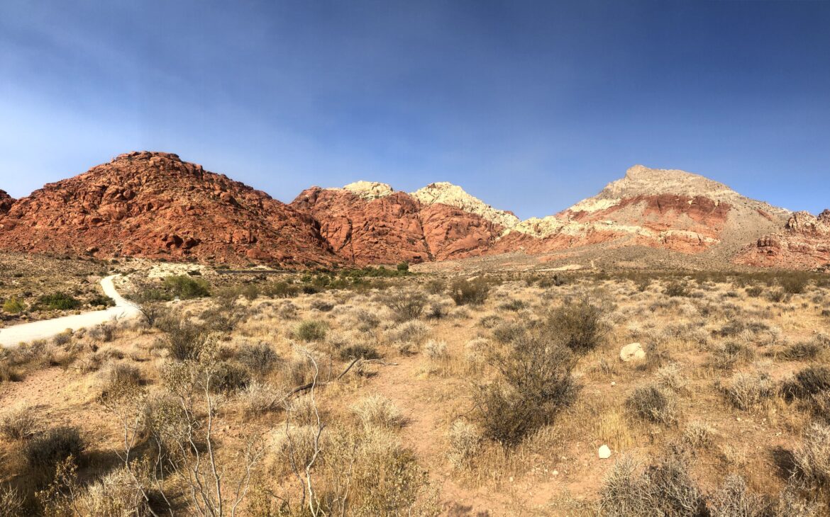
Out of the three hikes we did, the Kraft Loop Trail was certainly the most strenuous. In the first mile of the hike alone, we ascended 500 ft.
We started this trail around 9 a.m. because we knew it would take us a while and we wanted to beat the heat (overall the hike took 3.5 hours.)
Unfortunately, my Garmin watch died halfway through the hike, but you’re still able to see the rest of the loop around Kraft Mountain.
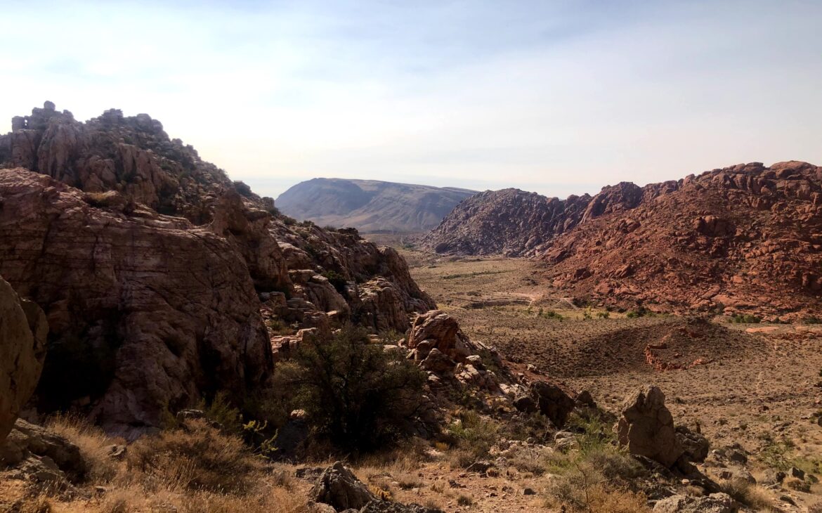
After the initial ascent, the trail levels off for the majority of the hike, and it was a relatively easy walk. However, the difficult part of this trail is that there aren’t many markers. Once we reached the backside of the mountain, we were unsure if we were headed in the right direction or not. Service in the area was spotty at best, so I’d recommend getting the Alltrails app and downloading the Kraft Loop map so you can access it even when you’re offline.
If you start the trail from the direction that Bri and I did, then continuing to head to the left throughout your hike is your best bet if you’re unsure of where to turn. We spent most of the hike walking through a dried-out river bed, so we couldn’t see where we were headed around the mountain, but we figured that if we kept going to the left, we’d come around the bend eventually.
Another thing to note is that this trail was extremely remote. After the first half hour, we didn’t see another person out hiking. It was fantastic for a sense of getting out of the city and just taking in the scenery, but it also caused us to be slightly panicked when we thought we were lost (which, admittedly, was for most of the hike.)
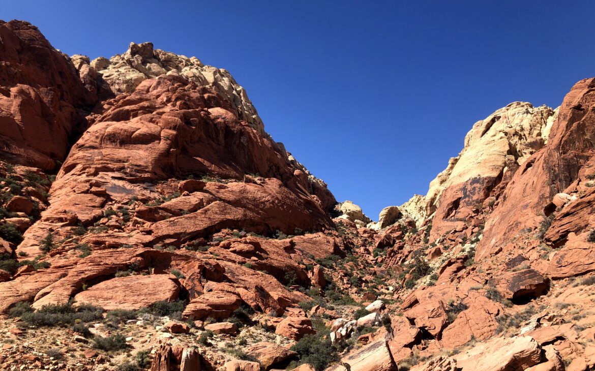
Finally, we came around the mountain and could see the descent down to the parking lot. Even though the end of the hike was in sight, this was the most dangerous part of the trail. Probably because the descent wasn’t a trail at all, but was an assortment of boulders that had to be climbed down. We had to carefully choose which paths to take so we didn’t get stuck or have to jump down too far.
After we made it back to the safety of Bri’s Jeep, we agreed that climbing down the boulders was the most enjoyable part of the hike. But that was afterwards. And it’s probably not a hike we’re looking to do again anytime soon.
To finish off my Vegas hiking trip, Bri and I headed to Mt. Charleston to catch the sunrise. October is the perfect time to watch the sunrise from Mt. Charleston since the sun doesn’t rise at a completely ungodly hour – unlike in the summer when sunrise is 4:30 a.m.
If you’re trying to make it to the end of the trail before color begins to break on the horizon, start the trail 40 minutes before the sunrise’s set time. We got a later start on the morning and only began the hike 20 minutes before sunrise, so we didn’t make it all the way to the peak in time.
However, we hiked as quickly as possible and were still able to make it to a decent elevation before dawn broke!
Even though Mt. Charleston is only a 40-minute drive from the heart of Vegas, the drop in temperature was palpable, especially in the early morning. We made sure to wear layers. Even after sunrise, the air was crisp at the peak.
Despite the change in elevation, this was the easiest hike we did due to the lower temperature. Although we hiked up the trail quickly to catch the sunrise, we hung out at the top for a long period of time and leisurely hiked down.
Even though my trip to Vegas didn’t involve what many people over 21 do the first time they visit “Sin City,” I wouldn’t change anything about my time there!
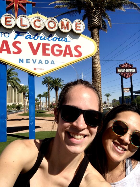
And, of course, we had to take the time to do at least one ultra touristy thing… even though we somehow managed to miss part of the sign.
* One disclaimer for me describing the trails as easy or hard is that both Bri and I are athletes and in our 20’s. What might seem relatively easy to use could seem more difficult to someone else.
